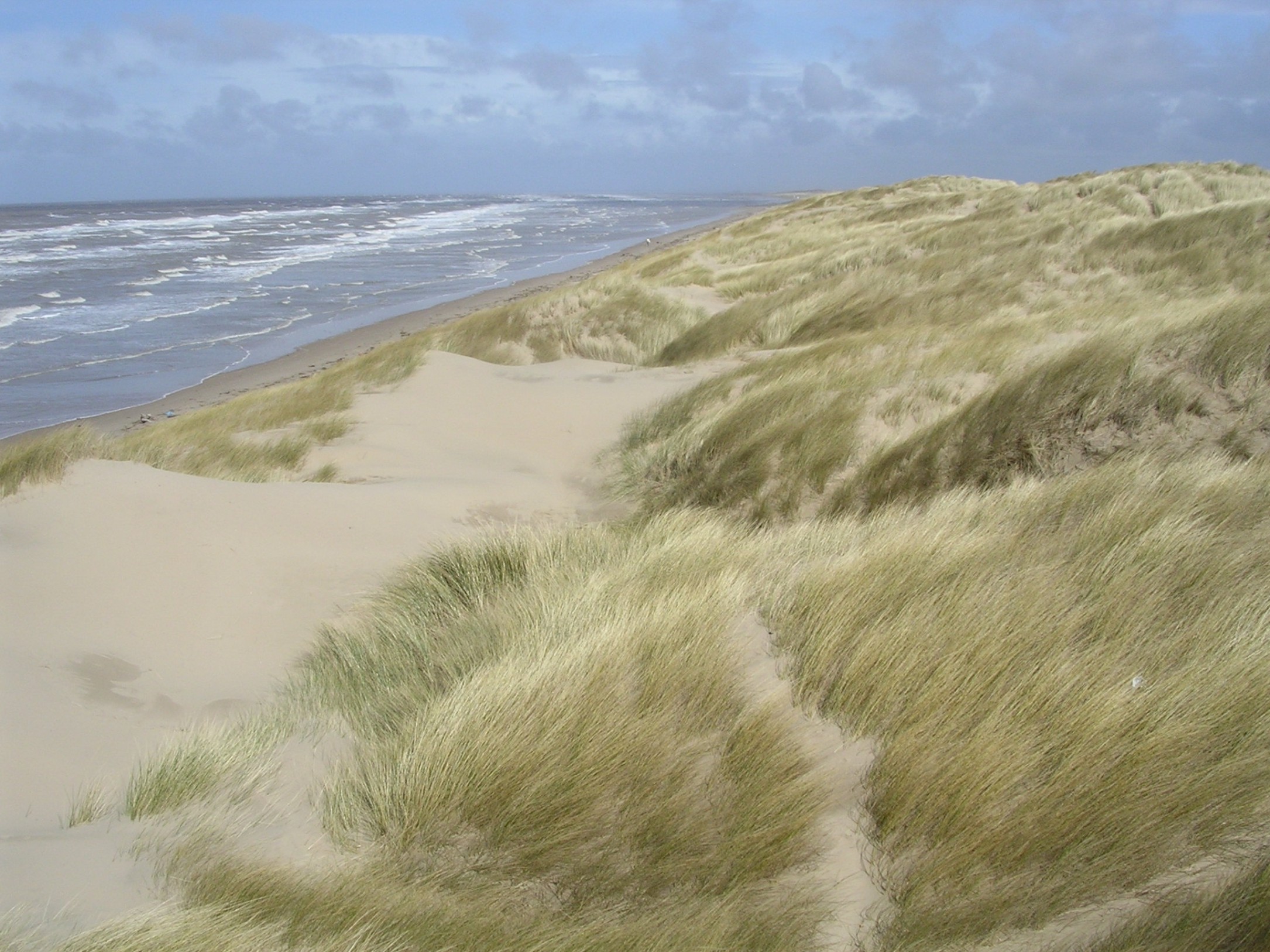

The task was to identify and map the vegetation communities across about 4,000 ha of estuary and sand dune habitat on the Sefton Coast, from Liverpool Docks to Lytham in Lancashire.
For the saltmarsh communities of the Ribble and Alt Estuaries Special Protection Area (SPA), the baseline survey mapped the distribution of National Vegetation Classification (NVC) communities, along with details of vegetation cover and height, to enable assessment of the condition of the estuarine vegetation for feeding and breeding of the bird species listed in the SPA citation documents.
For sand dunes of the Sefton Coast Special Area for Conservation (SAC), the survey followed up a baseline conducted 15 years previously. The main purpose was to provide the Coast Management Partnership with accurate information so that the extents of the internationally, nationally and locally important sand dune communities could be calculated; any trends of concern since the baseline could be identified, and appropriate management responses planned.
The NVC project has provided evidence vital for successful management of the coastal landscape to conserve and protect its critical natural capital.
Key aspects of the landscape scientist's role:
<ul>
<li>to understand the multi-functional character of the coast</li>
<li>to understand the client's international obligations regarding nature conservation</li>
<li>to devise a safe and efficient survey method</li>
<li>to source equipment and software to achieve accurate field recording</li>
<li>to present the results as a fully integrated GIS package to the client.</li>
<li>to work with the field ecologists, review progress and resolve technical and logistic problems</li>
</ul>
Accurate data is vital for managing such large areas of high international ecological value that are of considerable community value and are under pressure from urbanisation and natural processes such as air quality change, sea-level change and eutrophication.
The GPS system devised not only helped the field staff safely around the dangerous intertidal saltmarsh habitats, but also provided mapping accuracy of plus-or-minus 0.5m across 4,000ha of estuarine and sand dune sites. The mapping was augmented by more than 2,500 geo-referenced quadrants, recorded to comply with standard NVC methods, allowing detailed comparison with similar surveys in the future, as well as comparison with existing datasets.
It is believed that this was one of the first landscape-scale NVC projects to use GPS equipment, fully integrated with NVC software and a user-friendly interface for data entry. These techniques are now widely adopted.
The survey data has been widely used by the Coastal Management Partners to inform their own land management activities and to prepare strategic coastal management and biodiversity plans.
Overview
-
Project Name
Sefton Coast and Ribble Estuary NVC project
-
Location
Lancashire
-
Category
Coastal, waterways and wetlands
-
Landscape Architect
The Environment Partnership (TEP) Ltd
-
Brief
Production of accurate maps of NVC-defined saltmarsh and sand dune communities on the Sefton Coast and Ribble/Alt Estuary, to inform the conservation-led management of a landscape resource of immense significance to nature and the North West economy and population.
-
Awards
Winner 2007 LI Award Landscape Sciences
Details
-
Year Completed
0001
-
Project Size
4000 ha
-
Contract Value
'£53,000
-

The Environment Partnership (TEP) Ltd
Registered Practice - (21 + Employees) -
Approximate Map Location

Location
Lancashire
-
Share


